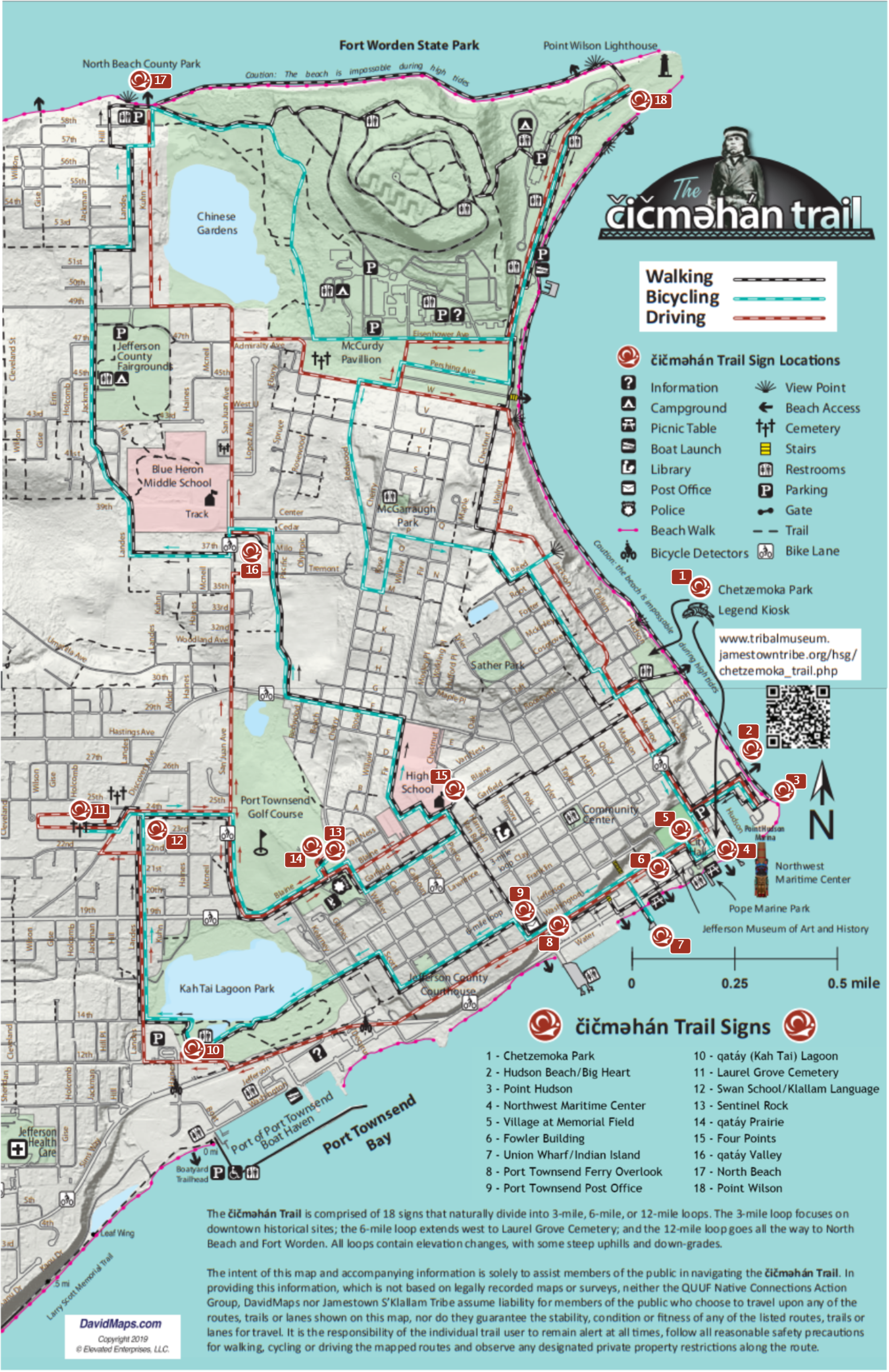
| Home | |
|

|

|
|
|
This site is the last remaining vestige of the natural prairie that spanned the qatáy (kah-tai) Valley, between wetland areas. Relatively dry, upland areas of the valley provided camas bulbs (qwɬúʔi in Klallam and Camassia quamash in Latin) for S’Klallam people to eat. The 1.4-acre camas prairie was officially preserved by the Olympic Peninsula Chapter of the Washington Native Plant Society in 1987.
Camas harvesting was done by women, who broke ground with digging sticks (generally made of fire-hardened Ironwood, or Ocean Spray). They had to be well aware of the difference between blue and white (death) camas, in order to harvest only the edible variety. They turned over a section of ground, pulled out the largest camas bulbs, and returned the earth to its original spot to continue growing.
The bulb of blue camas, a main carbohydrate of the S’Klallam diet, was roasted and ground into a starch that could be stored for winter. Radiocarbon dates from camas ovens at Ebey’s Prairie, on Whidbey Island directly across Admiralty Inlet from Port Townsend, suggests these traditional cooking methods are at least 2,000 years old.
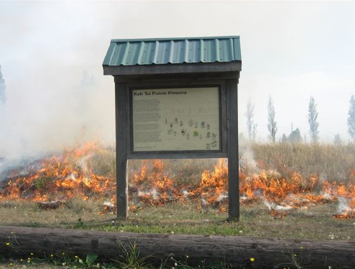
Periodic controlled burns of prairies were a regular practice of the S’Klallam, who recognized that burning the
woody debris of prairie plants encouraged new growth from safely buried roots and exposed foraging animals for hunting.
|
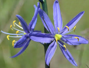
A camas flower.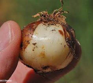
A camas bulb.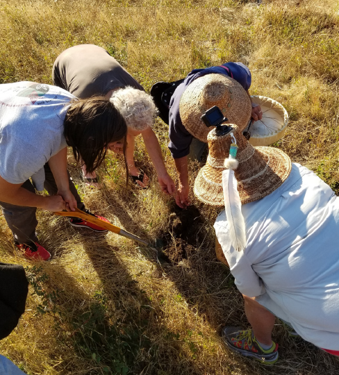
In 2018, the Native Plant Society invited members of the Jamestown S’Klallam Tribe to harvest camas bulbs from the Port Townsend prairie in order to repopulate them on Tribal lands.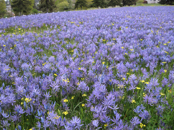
|
|
Previous Trail Sign |
Next Trail Sign |
|
|
|
||
|
Four Points
|
|
 Sentinel Rock
|
 Exhibit Home | Sponsors | About | PDF Trail Map
|
|
|||||||||||||